Dive in Complex Terrain
Made Simple.
The smart hydro assessment framework for resilient and adaptive BIM-based LIDs.
Turning LiDAR data
into real hydrological solutions
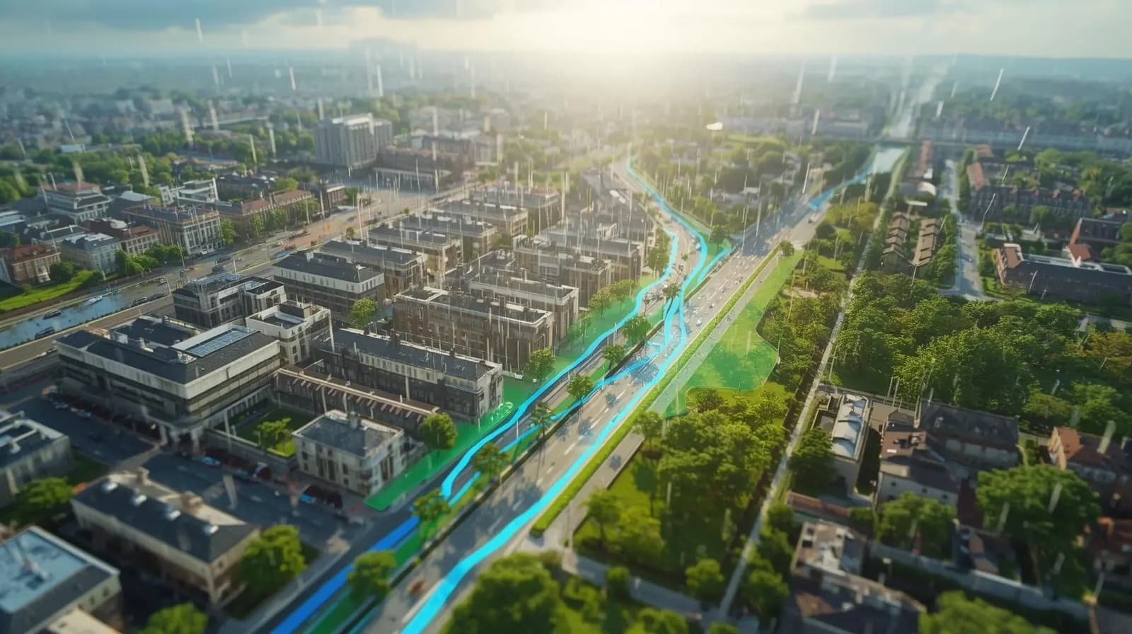
Upload and analyze digital elevation models (DEM), then simulate stormwater flows with SWMM.
Experiment and get
instant feedback
Visualize rainfall, runoff, and watersheds in seconds and collaborate on a unified canvas.
Slide